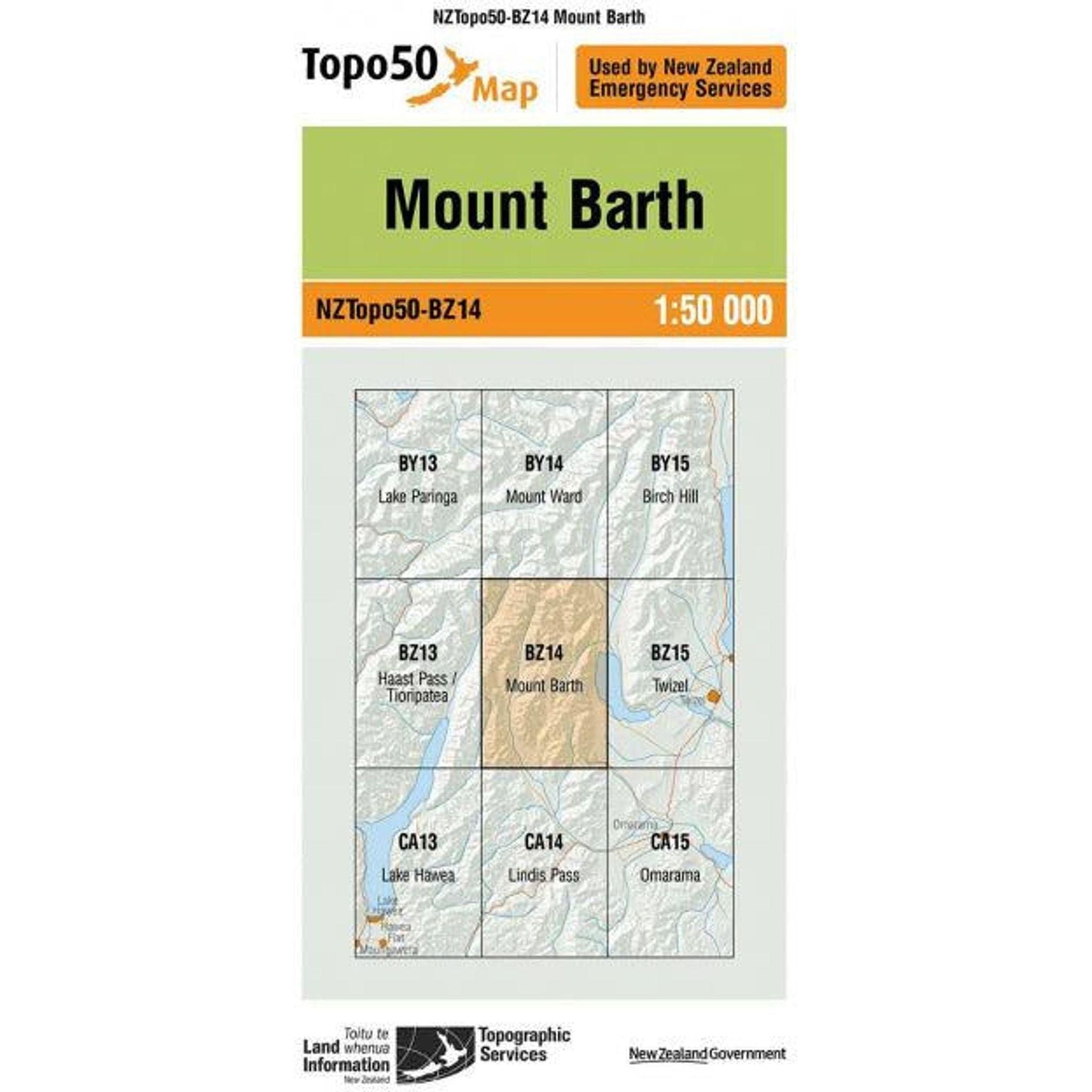
Topo Map 50 Mount Barth BZ14
Description
The Topo Map 50 of Mount Barth in New Zealand is a detailed representation of the area's terrain, featuring contour lines for elevation, symbols depicting natural and man-made features like rivers, trails, and forests. With a scale of 1:50,000, each unit on the map represents 50,000 of the same units on the ground, providing a comprehensive view of the landscape. It includes coordinates, grid lines, and a legend, making it an essential tool for outdoor enthusiasts, geographers, and adventurers looking to explore Mount Barth and its surroundings.
Features
Technical Specifications
Why Shop with Outside Sports
FREE NZ SHIPPING
Free Delivery on Orders Over $100*
60 Day Returns
Exchange or 100% Refund Guarantee
Rewards
Get 10% in Rewards
Join Membership
Get 10% OFF on your first purchase and earn 10% in rewards


