Get $10 Voucher per $100 Spend! T&C apply

Free shipping on orders over $100

Orders placed 24-29 Dec will be fulfilled 30 Dec

⟟ Locations
Currency

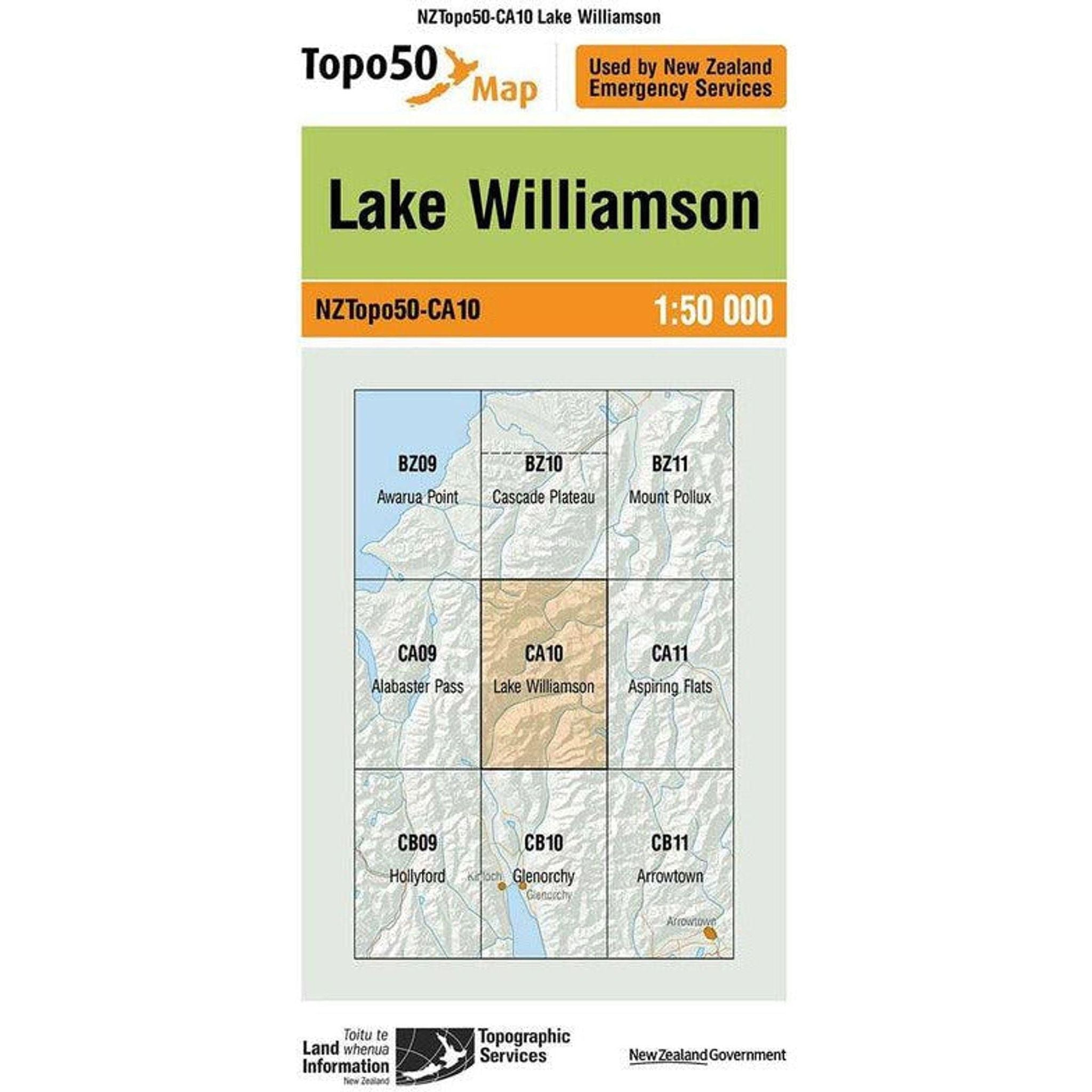
Topo Map 50 Lake Williamson CA10

$8.99 NZD

Free NZ Shipping over $100
60 Day Returns
Earn 10% cash back in Rewards!
Description

A 1:50,000 topographic map of Lake Williamson, NZ, offers a detailed depiction of the area surrounding the lake, including contours, trails, landforms, and water bodies. It presents the lake's shoreline, depths, nearby vegetation, roads, and elevation information through contour lines. Designed for hikers and outdoor enthusiasts, this map aids in route planning and understanding the landscape's topography for recreational or research purposes. It's a valuable resource providing comprehensive details for navigation and exploration.

Features

  • Detailed representation of Lake Williamson area in New Zealand
  • Scale of 1:50,000 (1 unit on the map represents 50,000 units in real life)
  • Shows contours, landforms, and elevation through contour lines
  • Highlights shoreline, depths, and surrounding vegetation
  • Indicates trails, roads, and other features for navigation
  • Ideal for hikers, campers, and outdoor enthusiasts
  • Valuable for route planning and understanding terrain for recreational or research purposes

Technical Specifications
  • Scale: 1:50,000 (1 unit on map = 50,000 units in reality)
  • Contour Interval: Typically standard contour intervals for topographic maps (e.g., 10 meters, 20 feet)
  • Projection System: Likely based on a specific cartographic projection (e.g., UTM, Lambert Conformal Conic)
  • Datum: Geodetic datum used for accurate positioning (e.g., WGS 84, NZGD2000)
  • Legend: Comprehensive key explaining symbols, colors, and features displayed on the map
  • Grid System: Coordinates and grid lines aiding in navigation (e.g., latitude/longitude, UTM grid)
  • Paper Size: Standard dimensions for the printed map (e.g., 22 inches x 28 inches)
  • Publisher/Source: Information about the organization or entity responsible for creating the map
  • Date of Publication: Indicates the map's currency or last update
  • Additional Information: May include notes on magnetic declination, scale bar, magnetic north, and other pertinent details for orientation and interpretation

★★★★★
★★★★★
★★★★★
★★★★★

Why Shop with Outside Sports

Free_shipping_icon-min - Outside Sports

FREE NZ SHIPPING

Free Delivery on Orders Over $100*

Return_icon-min - Outside Sports

60 Day Returns

Exchange or 100% Refund Guarantee

loyalty_icon-min - Outside Sports

Rewards

Get 10% in Rewards